

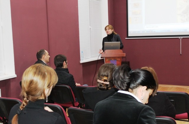
Presentation of the new project “Electronic Cartography” was held today at the National Archives of Georgia. The arrangement was attended by the general director of the National Archives, Teona Iashvili, representatives of the Office of Cartography and Geodesy of the Public Registry and the Institute of Geography.
The project considers the display of the unique cartographical documents, preserved at the National Archives, digitalization, creation of data basis and catalogue. Electronic catalogue of the maps and the Geographical information system will be uploaded on the webpage of the National Archive (www.archives.gov.ge)
Agency of the Public Registry will be involved in the project. They are holding Topographic maps from the Soviet period. Electronic copies of all maps will be located in the electronic catalogue that will assist the creation of the united basis.
The maps that are preserved at the National Archives are dated with the 18th-20th centuries. They are composed in Georgian, French, German, English, Russian, Armenian languages. The digital copies of the maps and their annotations are composed according to the International Standards that assists the integration of the archival documents on different catalogue systems. For example: APEx (www.apex-project.eu), Europeana (www.europeana.eu), Old Maps Online (www.oldmapsonline.org), etc.
With the help of the project the material will be accessible for the wide society, it will simplify the research of the cartographical material and will improve the protection of the original documents.